About us
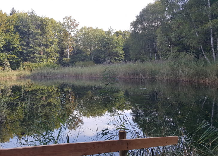
First in the vineyards, the path joins this tiny lake born from the Granier landslide in 1248 then we follow the route taken by the charcoal burners during the last war
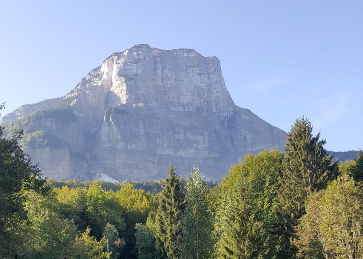
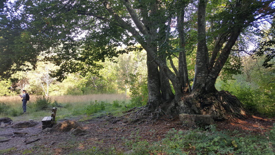
The easy path is obvious and marked. Here, the boundary markers of 1822 are painted – blue for France, red for Savoy. Milestone No. 41 is obviously on the department boundary which separates Isère from Savoie. The route therefore takes place in each of the two departments. In a beautiful clearing, a bench allows you to observe the north face of the Granier
Soon at the edge of the lake, among the debris of the Granier collapse, walking around it allows you to get a good idea of this Carthusian exception. The start of the charcoal trail at the northern end of the lake is marked. The clever layout on a gentle and regular slope testifies to the heavy loads that had to be carried there, on the back of a man or horse – it was even suitable for carriages pulled by oxen.
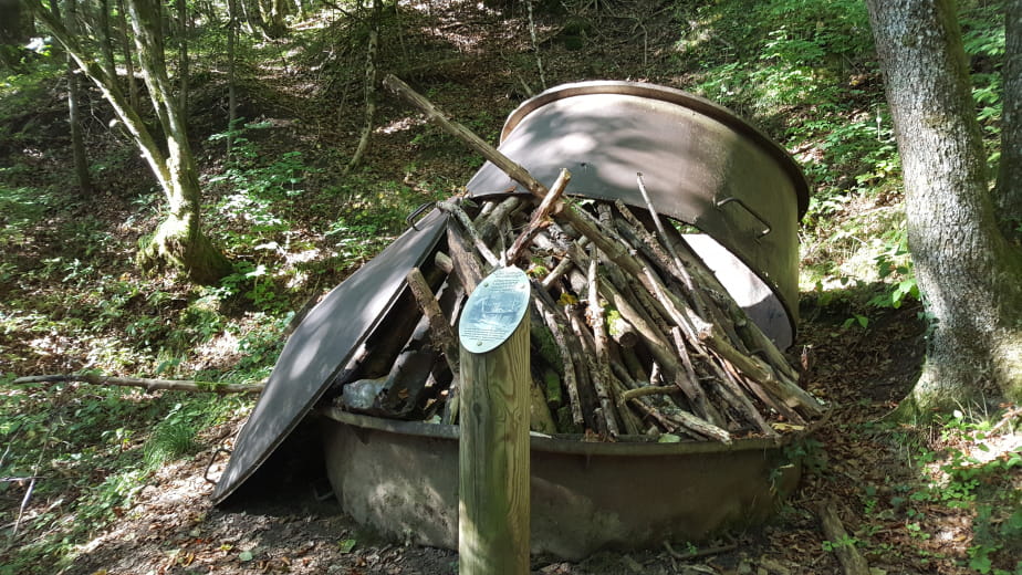
The climb continues while the impatience to find the pots of Gargantua increases. You must have exceeded the altitude of 780m to discover the first oven. And already, at the edge of the path which cuts the bend, a second one is visible.
The ONF took care to place explanatory panels near the tanks sufficient to understand the coal mining activity of the 1940s. Piles of wood complete each installation for a better situation.
The coal burners needed water to quench their thirst, but also to control the risk of fire when the kiln was opened, when it was time to fill the canvas bags with the precious fuel. The source of the charcoal burners is located around 840m on the path which continues towards the road
-
Spoken languages French
Pratical information
-
Type of clientele
-
Services
-
Equipments
-
Activities on site
Itineraries
- Cumulative elevation 300m
- Duration 2h
- Distance 5km
Opening
Contact & Access
chapareillan
38530 Chapareillan


