
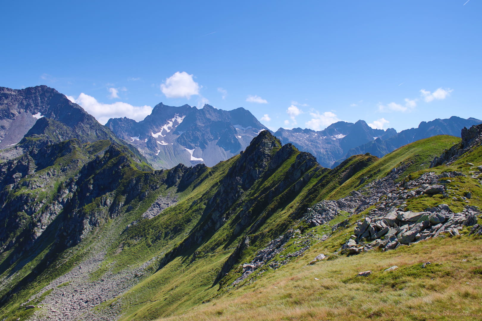
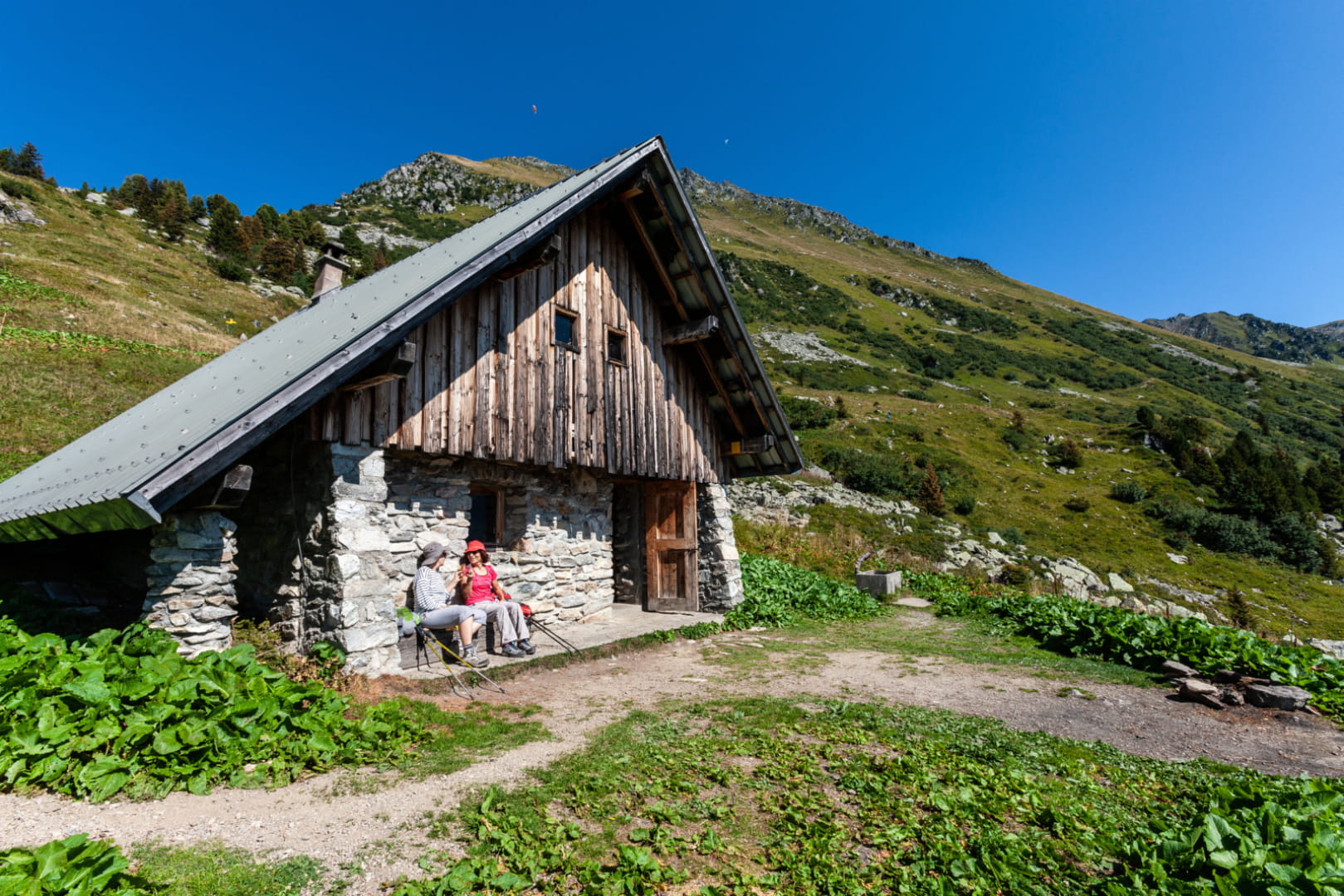
Map of PDIPR and GR hikes in Cœur de Savoie


You wish to discover the walks and hikes of our territory, the Savoie Mont Blanc hiking app allows you to choose the route you need according to your desires.
- The routes of the routes classified by elevation, duration, theme
- Geolocation to find the route closest to you
- The list of mountain guides
The advantage of the application, it allows you to locate yourself in real time on or next to the path, so it is impossible to get lost even in foggy weather. You can also download the content of the selected hiking sheet to navigate without an internet connection.
The application is free and easily downloadable from Android Market or Apple store.
