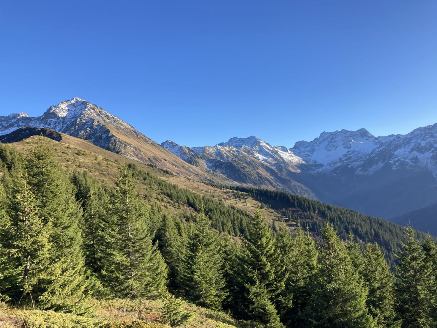
These mountain pastures change color with the seasons: white or mauve crocuses when the snow melts, yellow arnica in spring or red rhododendron at the end of summer in the heart of blueberry season. The old alpine ski slopes will be conducive to a walk without commitment, allowing everyone to picnic above the Isère valley.


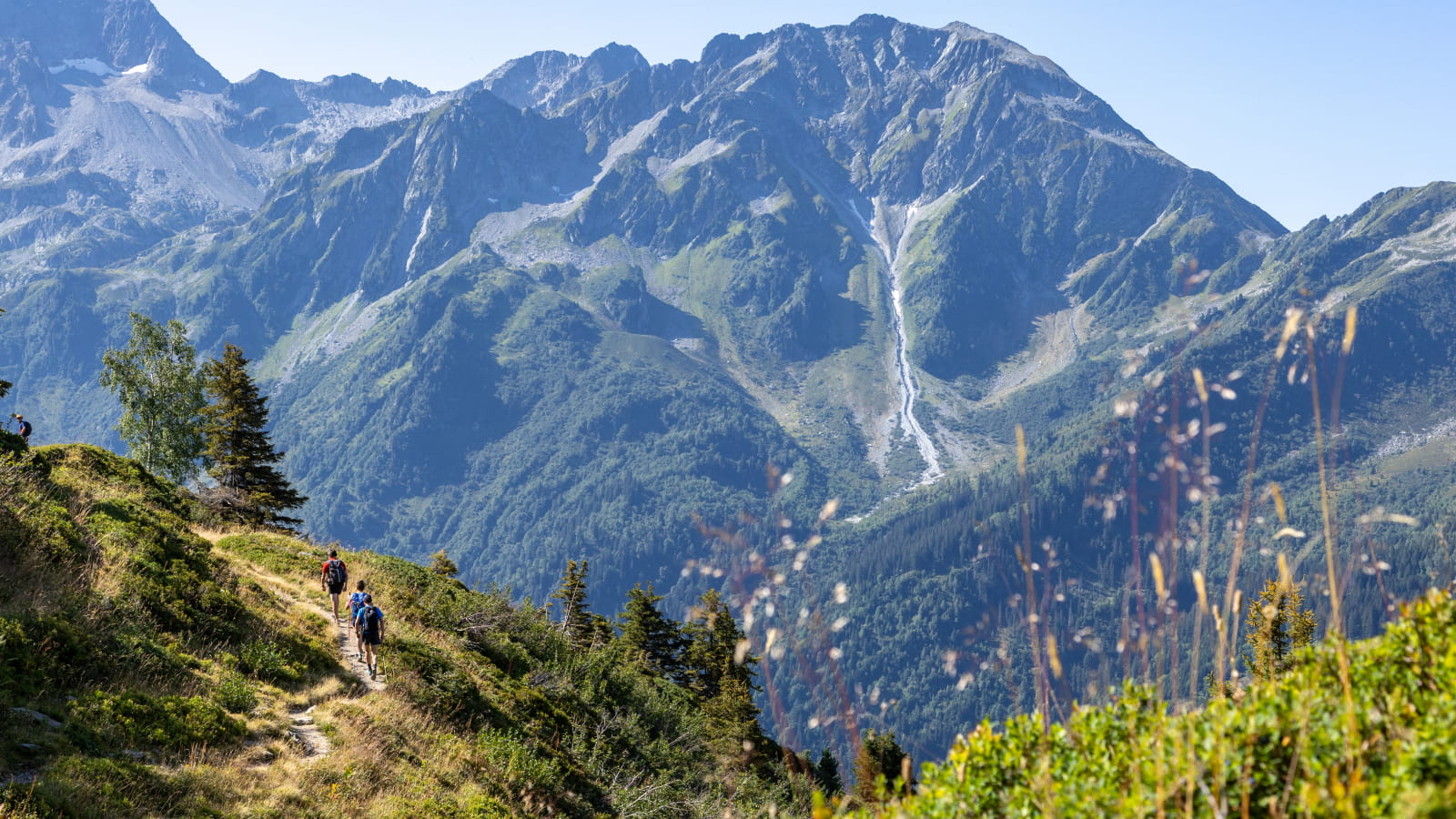
For more experienced hikers, the Val Pelouse ridge hike will allow you to cross this mountain pasture in 3 hours by a pretty balcony path to the Perrière refuge and then return by the ridge at an altitude of 2 meters, where a 000° panorama awaits you (Massif de la Chartreuse, Massif des Bauges, Massif du Beaufortain and Mont Blanc, chain of Hurtières).
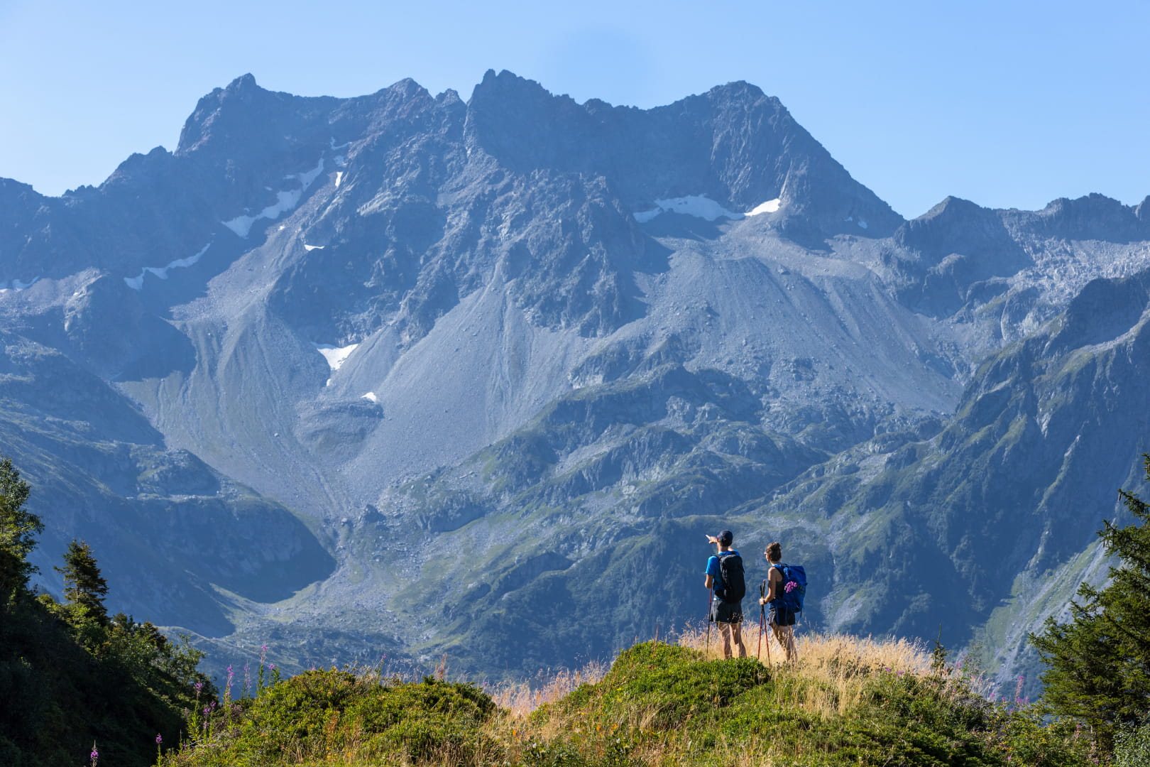


For the more athletic, you can start from the Perrière refuge, for an ascent to the emblematic summit of our territory: the large mills at 2 meters. You will find some Tibetan prayer flags planted there, recalling the presence of the Karma Ling Buddhist Institute 495 meters below.
These paths follow the route of the GR738 linking Aiguebelle to Vizille. You will undoubtedly meet itinerant hikers or trail runners preparing for the mythical Echappée Belle race. Are you tempted?


Access to Val Pelouse
Taking into account the winter closure, climatic hazards as well as forestry work carried out in the Val Pelouse sector, traffic restrictions on the RD208 (known as the Val Pelouse road) and on the surrounding hiking trails may be applied.